Researchers use Census data to study social and economic life. Learn about ways researchers used data to show of what life is like.
Mapping in Color
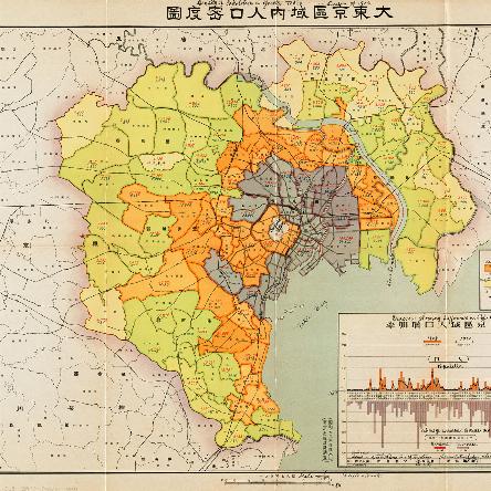
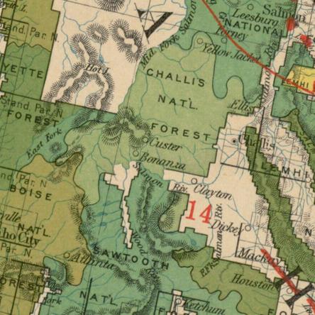
Colors are an important aspect of map-making. There is a wide spectrum of uses (and colors!) that can be found in the map collection at the Norman B. Leventhal Map and Education Center at the Boston Public Library. Color is used for everything from conveying very basic information, such as the difference between land and…
Maps and the Spanish-American War
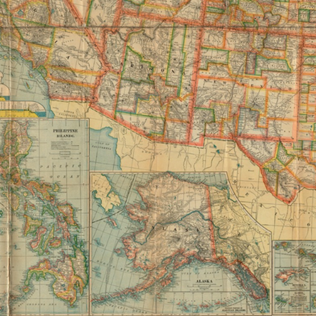
This post was written in collaboration with Rachel Mead, who works at the Leventhal Map & Education Center as a GIS, Gallery, and Social Media Intern. The Leventhal Map and Education Center is currently hosting an exhibition titled, America Transformed: Mapping the 19th Century. From 1800-1900, the US expanded westward, taking over land through war, treaty…
Mapping Summer Hotspots!
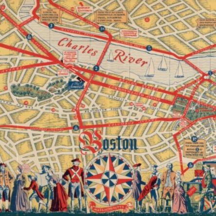
The school year is drawing to a close and at the Map Center we are dreaming about summer excursions! Traveling through our historic map collection, we have found all sorts of fun places to visit. Our itinerary starts in our hometown of Boston. In this historic tourist map from 1935 we can see all sorts of…
1 - 4 of 4


