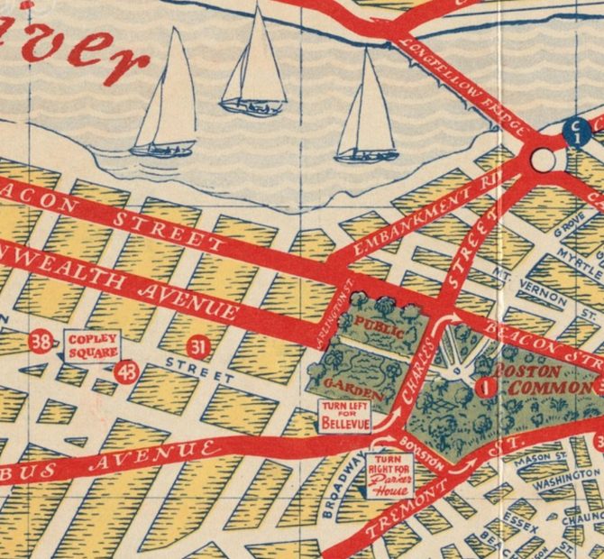
The school year is drawing to a close and at the Map Center, opens a new window we are dreaming about summer excursions! Traveling through our historic map collection, we have found all sorts of fun places to visit. Our itinerary starts in our hometown of Boston. In this historic tourist map, opens a new window from 1935 we can see all sorts of fun activities.

Starting in Copley Square, opens a new window, we could head over the Charles River and go sailing or we could go for a stroll through the Boston Public Garden, opens a new window. At the Common we may wade in the Frog Pond, opens a new window before 'hopping' on a ferry to head out of the city for our next stop!
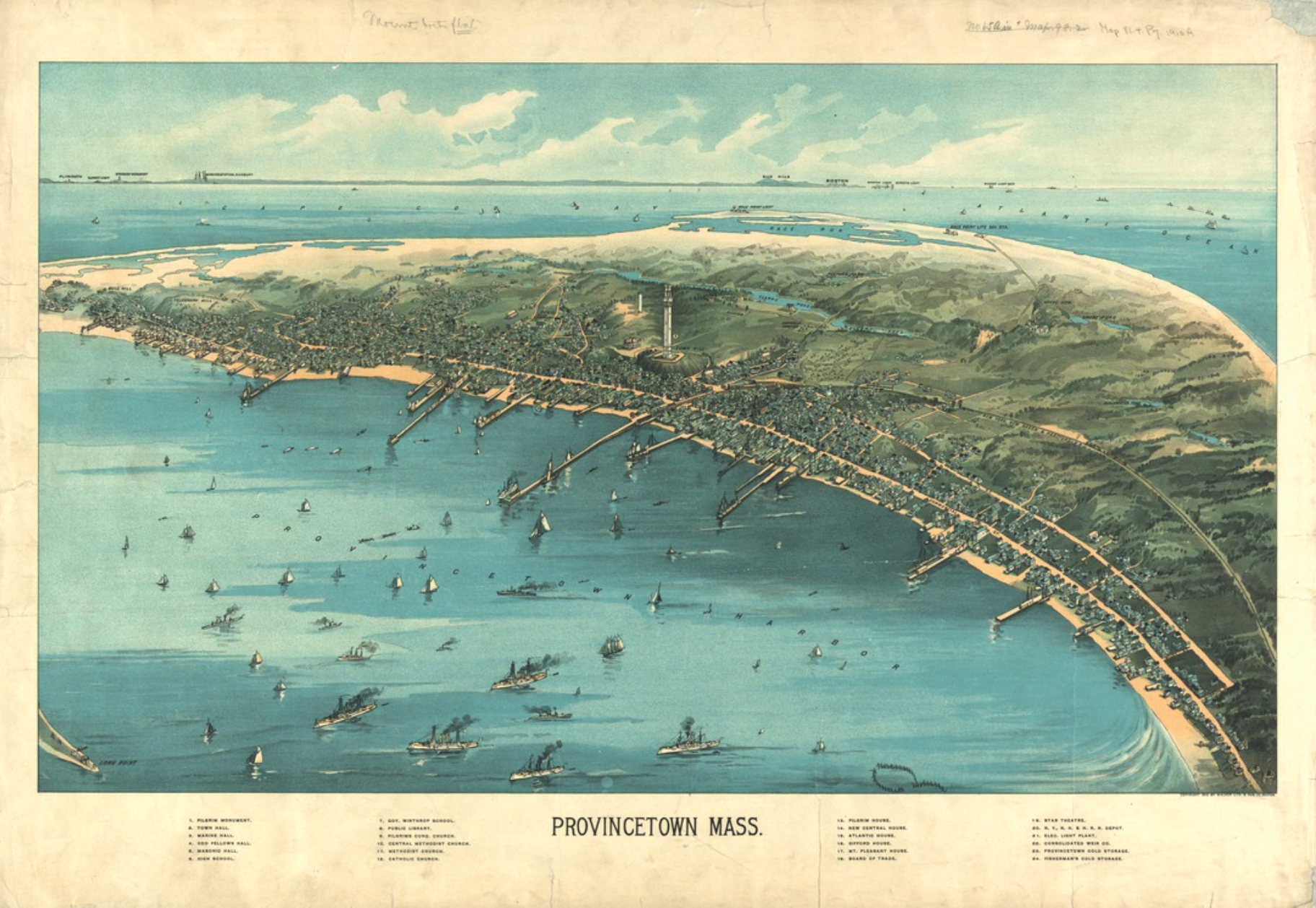
Taking the ferry, opens a new window from the Boston Seaport, we'll head to Provincetown, Massachusetts. This town is on the northern tip of Cape Cod. This 1910 map, opens a new window captures the town as it was transforming from a fishing community to burgeoning tourist hotspot. This map is a fun artifact because it captures that transition period. There is a mixture of steam and sailing ships in the harbor as well as cold storage plants for processing fish. In contrast, the legend lists several hotels and the Star Theater, indicating the developing tourist industry.
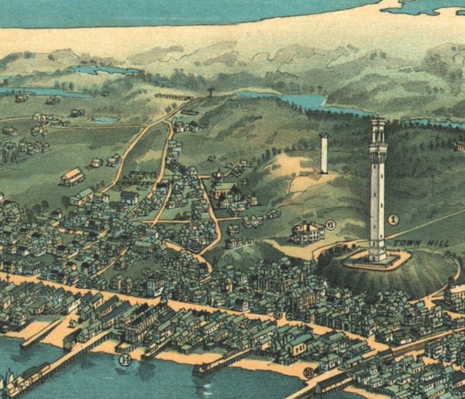
While visiting Provincetown, we could choose to visit one of the many beaches, opens a new window, or we could join in the festive Pride celebrations. Or we could climb up the Pilgrim Monument, opens a new window. The central focus of this map happens to be Provincetown's most striking architectural feature. The completion of the 252-foot tower coincided with the publication of this map in 1910. This monument celebrates the Pilgrims' five-week stay at the tip of Cape Cod before departing for Plymouth.
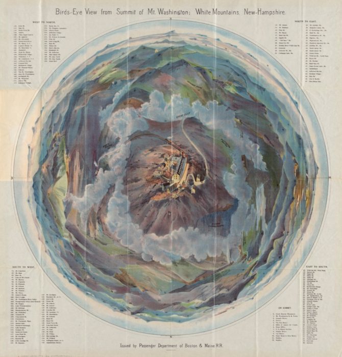
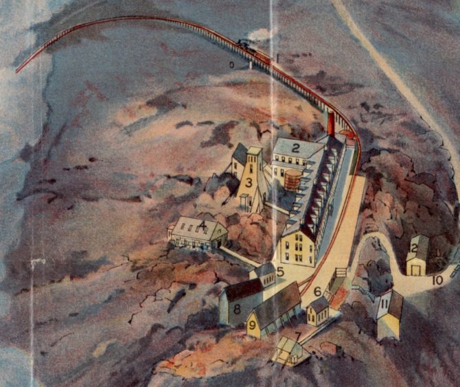
After our visit to the Cape, it's time to hit the road. We'll head to the summit of Mount Washington, located in Gorham, New Hampshire, opens a new window. The map, opens a new window below was published by the Boston and Maine Railroad in 1902 to appeal to tourists visiting New England’s tallest landmark. This colorful rendering is a known as a fish-eye or 360-degree panoramic perspective.
In the summer there are three methods of getting the to the top of Mount Washington: a vigorous hike up to the summit, a leisurely drive via the Mt. Washington Auto Road, opens a new window, or a captivating ride up the Mount Washington Cog Railway, opens a new window. This map in centered around the mountain’s summit. The buildings are accurately depicted, and you can even see the auto road and railroad. Everything else in the map is distorted. The surrounding mountains appear in the distance as non-distinctive colored hills. However, each is numbered and identified in the lists in each of the map’s four corners.
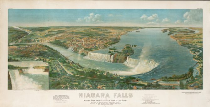
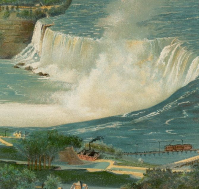
After departing New Hampshire, there is one more destination we want to check off our summer travels list: Niagara Falls. This illustrative map, opens a new window shows details from both the American and Canadian sides.
While touring the falls, we will be sure the check out the American Falls and the Horseshoe Falls centered in this 1893 map. Luckily, no barrel rides are depicted in this map (because we are not interested in that type of adventure!). The first person to successfully attempt such a stunt, opens a new window was schoolteacher Annie Edson Taylor. She purposely went over the falls in a barrel in 1901, a few years after the creation of this map. We'll settle for the beautiful view before we head back to our home city of Boston!
While our mapping road trip is coming to an end, summer is just beginning. Explore more maps through our digital collections, opens a new window and plan your own trip through history! Where will your adventures take you?


Add a comment to: Mapping Summer Hotspots!