Boston Public Library's Central Library and 25 Branch Libraries are located throughout Boston's neighborhoods: Allston, Back Bay, Brighton, Chinatown, Dorchester, East Boston, Jamaica Plain, Mattapan, North End, Roslindale, Roxbury, South Boston, South End, and West Roxbury.
See a list and map of all of our library locations.
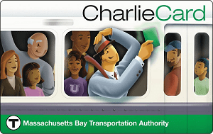
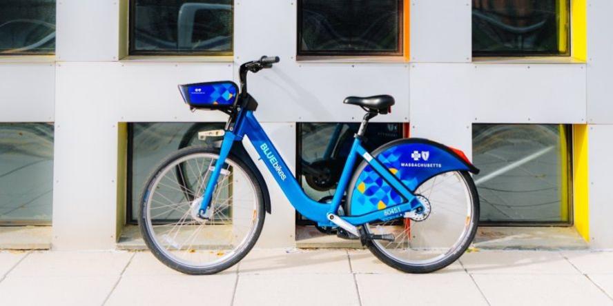
Pick up a BPL Passport to track your journey and visit all our locations! You might walk, take a BlueBike, or pick up a free (unloaded) CharlieCard at the Central Library in Copley Square.
Discounted BlueBikes
There are a number of different ways you may be eligible for a discounted Bluebikes membership. Learn more here!
Leventhal Map & Education Center Exhibitions
Map Center Exhibition: Becoming Boston
In the eight cases of this permanent exhibition at the Leventhal Map & Education Center, we follow the changing spatial forms of Boston.
Digital Commonwealth Collections
Subway Construction
View images of subway construction in Boston through the Digital Commonweatlh.
Elevated Railroads
View images of elevated railroads in Boston through the Digital Commonwealth.
Transit Maps Through the Years
View local transit maps of Boston through the years via the Digital Commonwealth.
I Want to Ride My Bicycle: 16 Titles
May is National Bike Month! Whether you're new to riding or an old pro, you're sure to find something on this list to catch your eye!
Four Centuries of Mapping Boston in Transit
This book list accompanies the Getting Around Town exhibition at the Leventhal Map & Education Center.
Destination Massachusetts
These guides will help you explore the beauty, history, and culture of Boston and the Commonwealth of Massachusetts.
Boston's Parks, Gardens, and Green Spaces
Use these resources to find out more about the history and current uses of Boston's green spaces.


